One might be hard pressed to find a canoe for sale. Just kidding, of course, but the 11th straight day of some measurable rain has fallen and the sun is almost just a faint memory. Tomorrow, the sun was to be out all day. That has now changed and we might see the sun briefly Sunday and Monday, but come Tuesday, new ten day forecast advertises rain again.
The National Weather Service publishes for the landmark airports in the Metroplex, rain totals for the official gauge at DFW International. It also list Love Field, which is up stream from me. The total rain gauge amounts reported each 6-hour period since February 20th thru 11:53 A.M. today (24th) is officially 8.36 inches. Needless-to-say, we are OUT of the drought conditions that had returned from a year ago.
Yesterday, was my first day out in nearly a week. Cabin fever was pretty bad. With errands building up, it was time to get out for a bit. Knowing that I could get down Garland Road to the dam at the lake without hitting any areas that traditionally flood; looking at my list of errands was enough to set out for gas and the grocery store and stay dry. The bank and the pharmacy can wait until Monday and that is not carved in stone for need purpose.
Here are some of the images of the spillway flow.
 |
| From the upper spillway below the dam looking downstream to the tidal pool and the second spillway that turns left. There are two flows on either side of the island that forms the tidal pool. The flow that you see here is of the left flow right at the second spillways beginning. |
 |
| The USGS official water level that is automated and located here as part of the reporting of the flow rate in the Trinity River Watershed on their website. There is another gauge that picks up where this one tops out. It is mounted on the side of the spillway. Both are satellite transmittable. |
 |
| This is below the spillway that flows below the dam looking back up toward the dam and into the tidal pool. It then is turning a sharp left into the lower spillway before discharging directly back into White Rock Creek, that flows into the Trinity, a few miles farther south of here. |
 |
| This is the second spillway (the lower one) that steps down into White Rock Creek again. You can see the water forming downward and upward patterns that are a result of the steps under the water. This is about 20 feet deep where the white caps are forming. Also, keeping in mind that any water that is running off between the Red River and here is flowing into the Trinity through these creeks into the lake. So, the levels today are certainly higher than what you see here from yesterday. In fact, until today, I have never seen on my Yahoo home page a solid block in red that said, FLOOD WARNING. TAKE IMMEDIATE ACTION until today. |
|
|
|
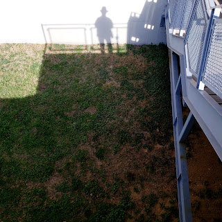
In spite of all this, there are trees that have open buds and I have seen one white flowering tree in full bloom already. I'll do an additional post with an image of rain drops on a tree with open buds that I shot on the walk up to the observation deck above the dam. I also found a dangerous "Widow Maker" and reported it to the Park Maintenance Office.Any wind could snap the rotten wood from the top of the "Y" that caught the branch and cause it to fall onto the trail. The size and the weight of the branch would be enough to cause a death if it fell directly on someone. The park guys are great about removing things like that. Last fall, I reported on in the parking lot above where the Kayak Rental is located and they removed it with an hour. The city doesn't want any law suits but these guys also know that most people walk around and never look above their heads at what might be a future Widow Maker.