It's unusual, but 5 tornado's struck North Texas yesterday afternoon. When my phone app went off, it said that there was a dangerous tornado in the High-Five area. Take cover.
Today, the National Weather Service was out doing surveys of the damage to determine the strength and if tell-tale signs of the destruction could be found. In short, the three tornadoes south of us were caught on tv news feeds and they were rated as EFU tornado's but no touch down or damage.The NWS had video of those which they reviewed. However, the two in Dallas locations of University Park (SMU area) saw winds of 70 MPH upwards as EF0 and the second one in my old neighborhood just north of University Park as EF1. Winds were in the 90 MPH with structure damage and trees down. The unusual part is the this EF1 struck the same area in the 2019 tornado . A house had just been rebuilt and a well-established local garden center and nursery was also struck again. Had it continued on that path it would have been knocking on my door as the 2019 tornado did.
Short waves are moving through one to two times a day with strong storms, heavy rain, hail, damaging wind and dangerous flooding. We are forecast to have an additional 7-8 inches of rain before the system moves east and and is out of here. Already, we have had enough rain the first 15 days of the month to saturate the ground and fill the lakes to the Conservation Level in most of the local lakes that supply North Texas with drinking water. Earlier today, the Trinity River was 5 feet above flood stage; levels we have not seen in the past couple of years.
As I finish up here, approaching strong storms from the west are moving into the County Watch Areas Western approaches til 1 AM ; the heart of Dallas 2-4 AM and eastward 5-8 AM for thunderstorm watches and warning.
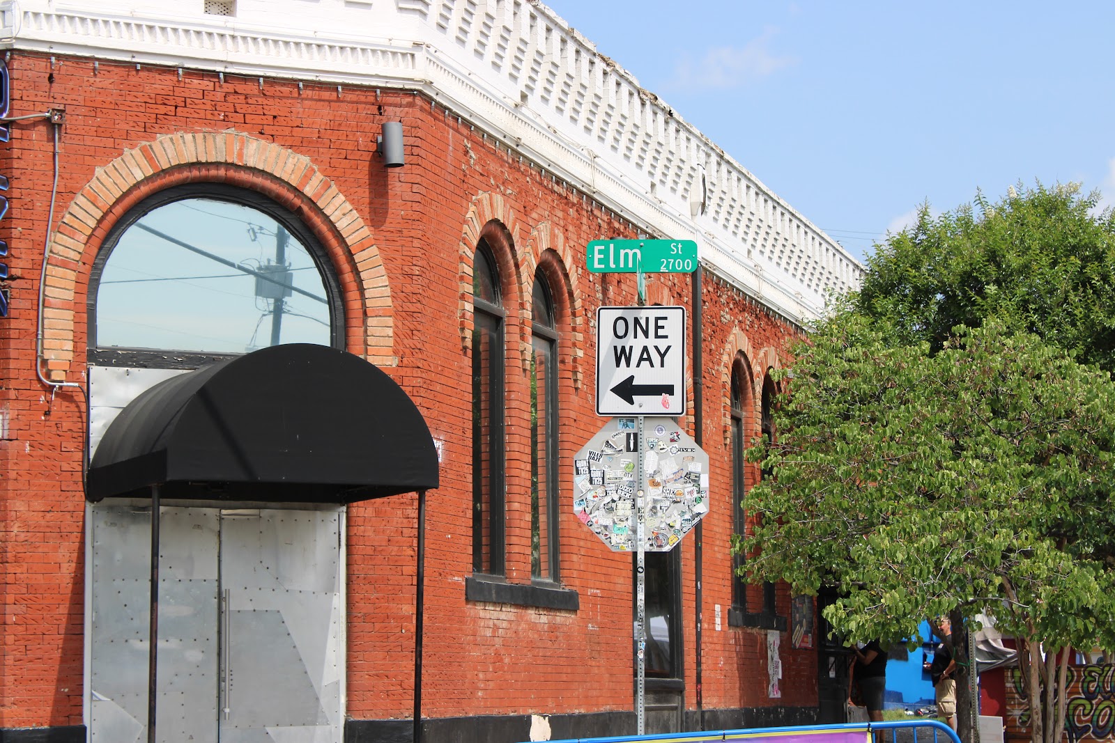
University Park funnel touched down right in the area of City Hall. Tennis courts fences were down and old growth trees were toppled. The famous LO VE sculpture was spared with cameras showing the strong winds and rain pounding the area. You can go to our profile portfolios at Alamy, Adobe or Dreamstime to see the storm damage of the area from 2019 tornado.